In this section you will find the images, maps, and tables used within the video. There are also a few assets that were not used within the video but are related to the subject matter. Click image to view full size.
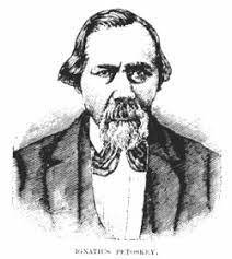
Etching of Chief Petosega
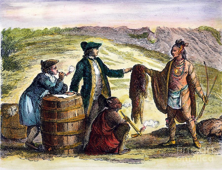
French fur traders with Native Americans
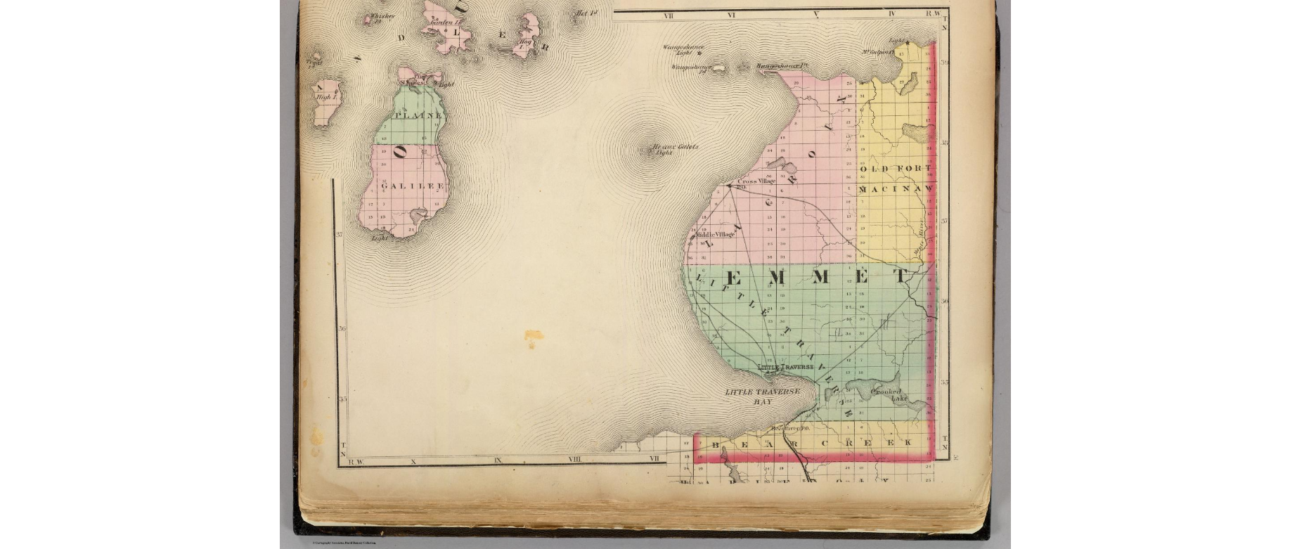
1873 Map indicating Bear Creek
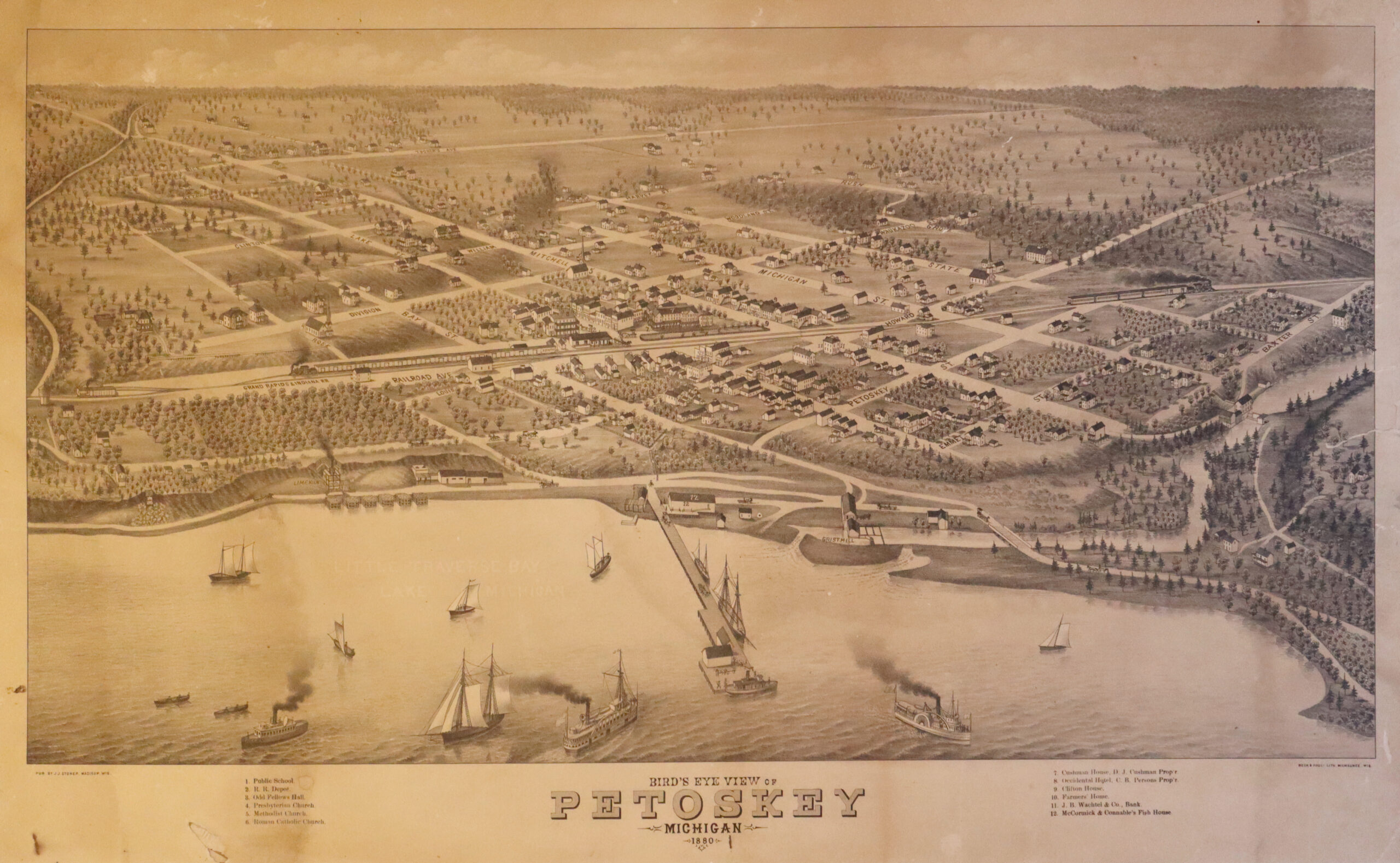
1870 Birds eye view of Petoskey
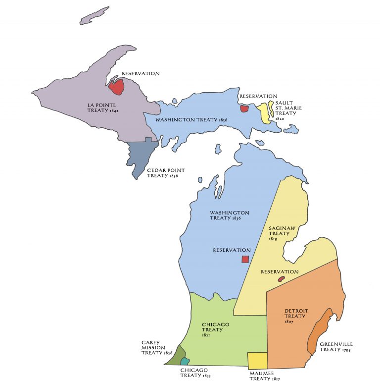
Map indicating Michigan treaties.
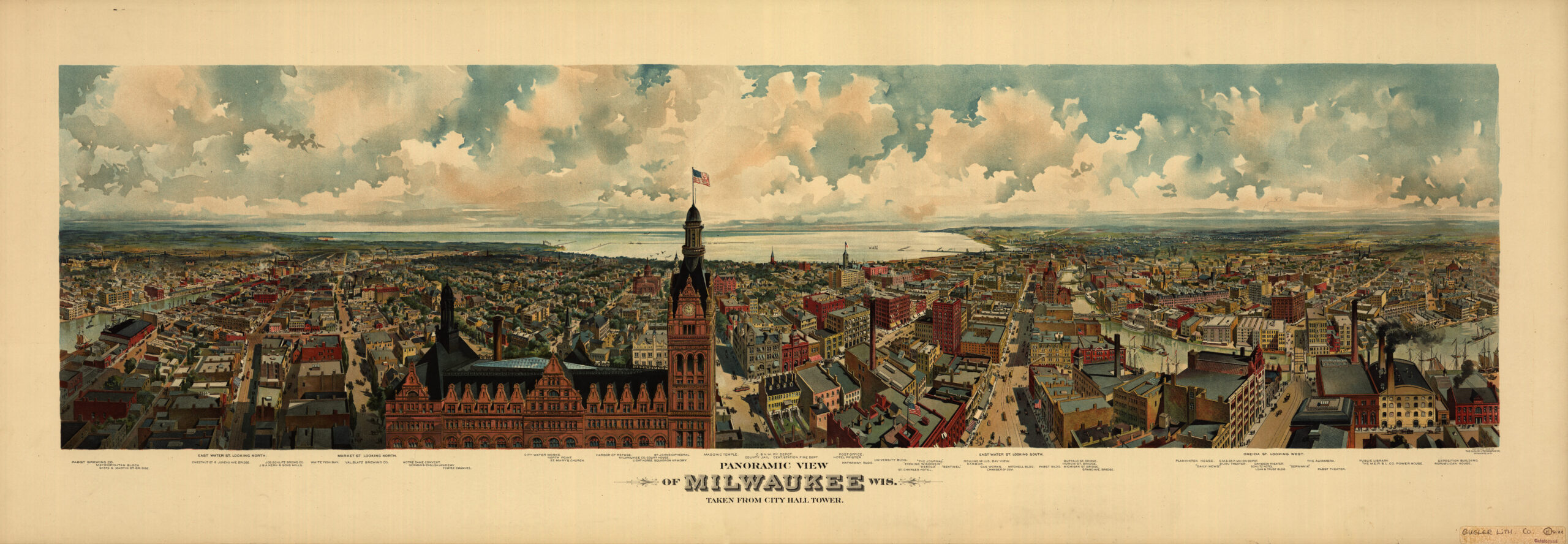
1898 Panoramic view of Milwaukee, Wis. taken from City Hall tower
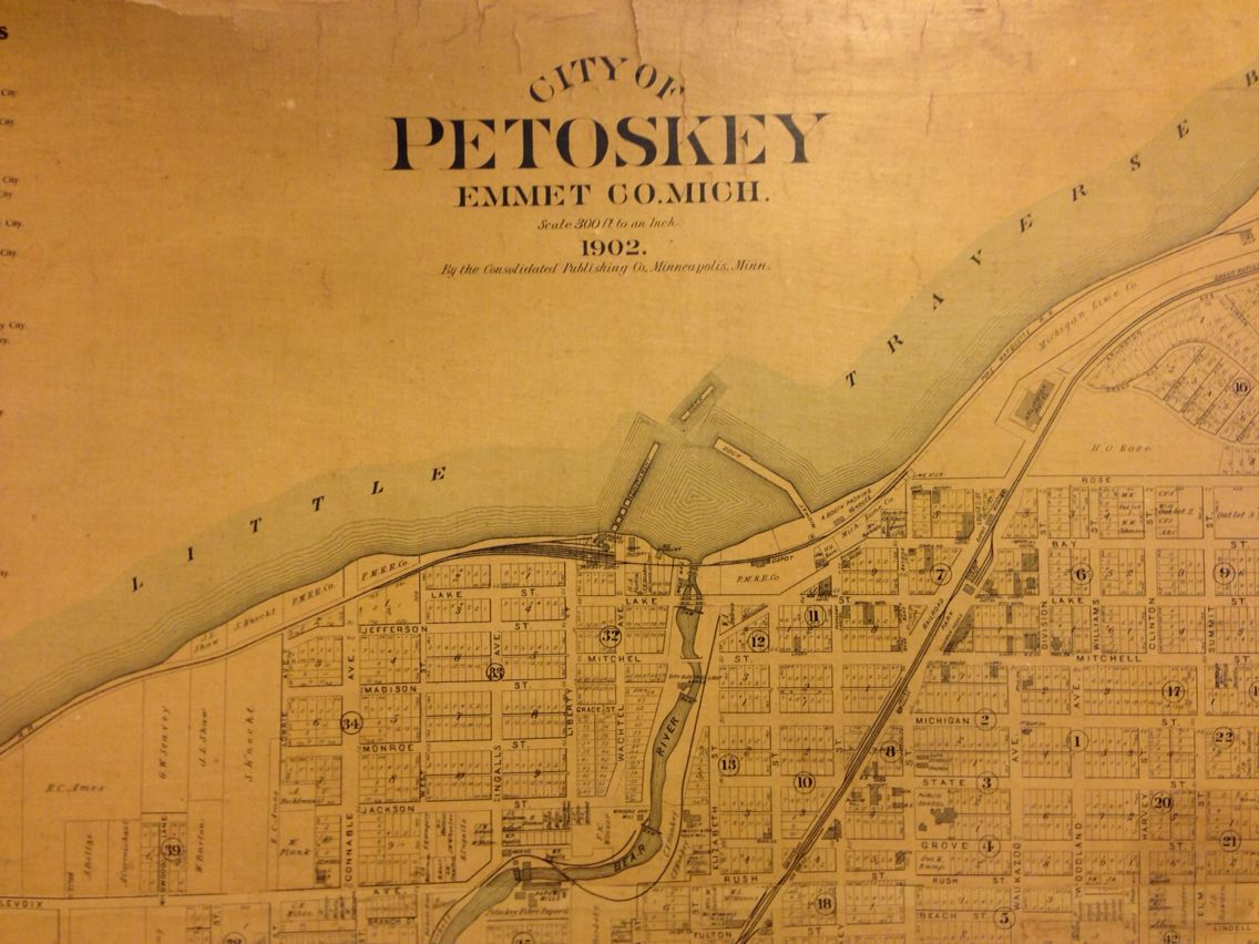
1902 Map of Petoskey
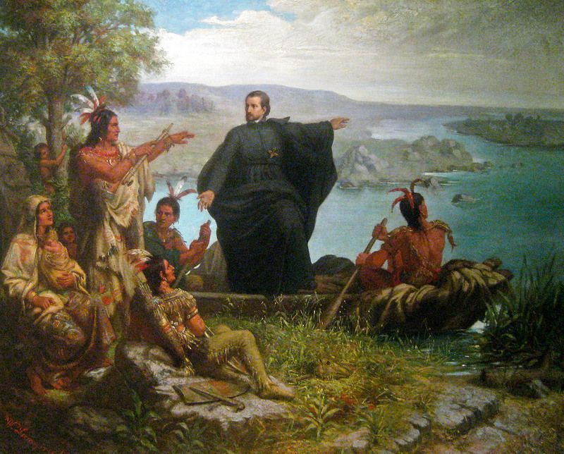
Indigenous People with Missionary
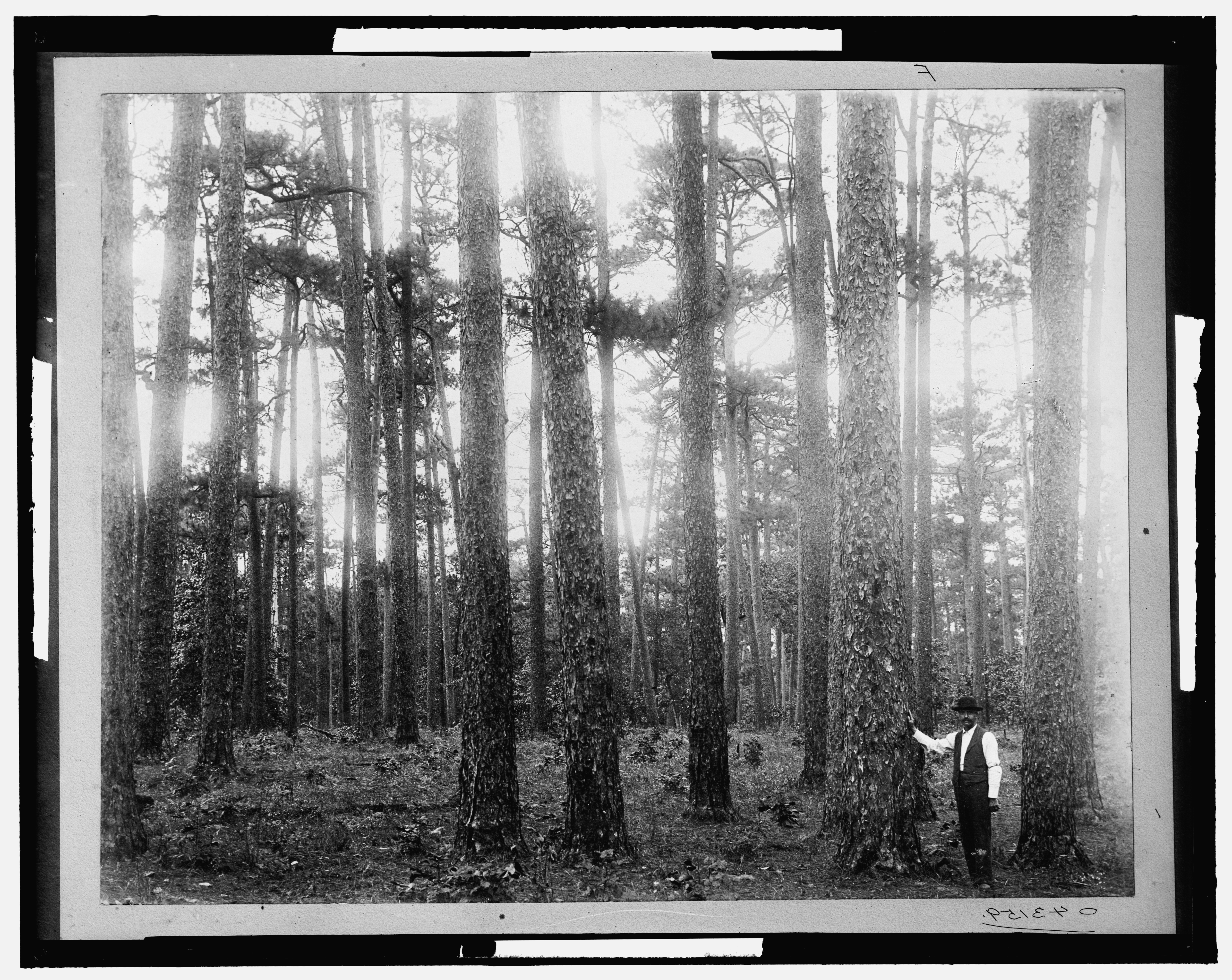
Lumber barons found virgin white pine forests in northern Michigan.
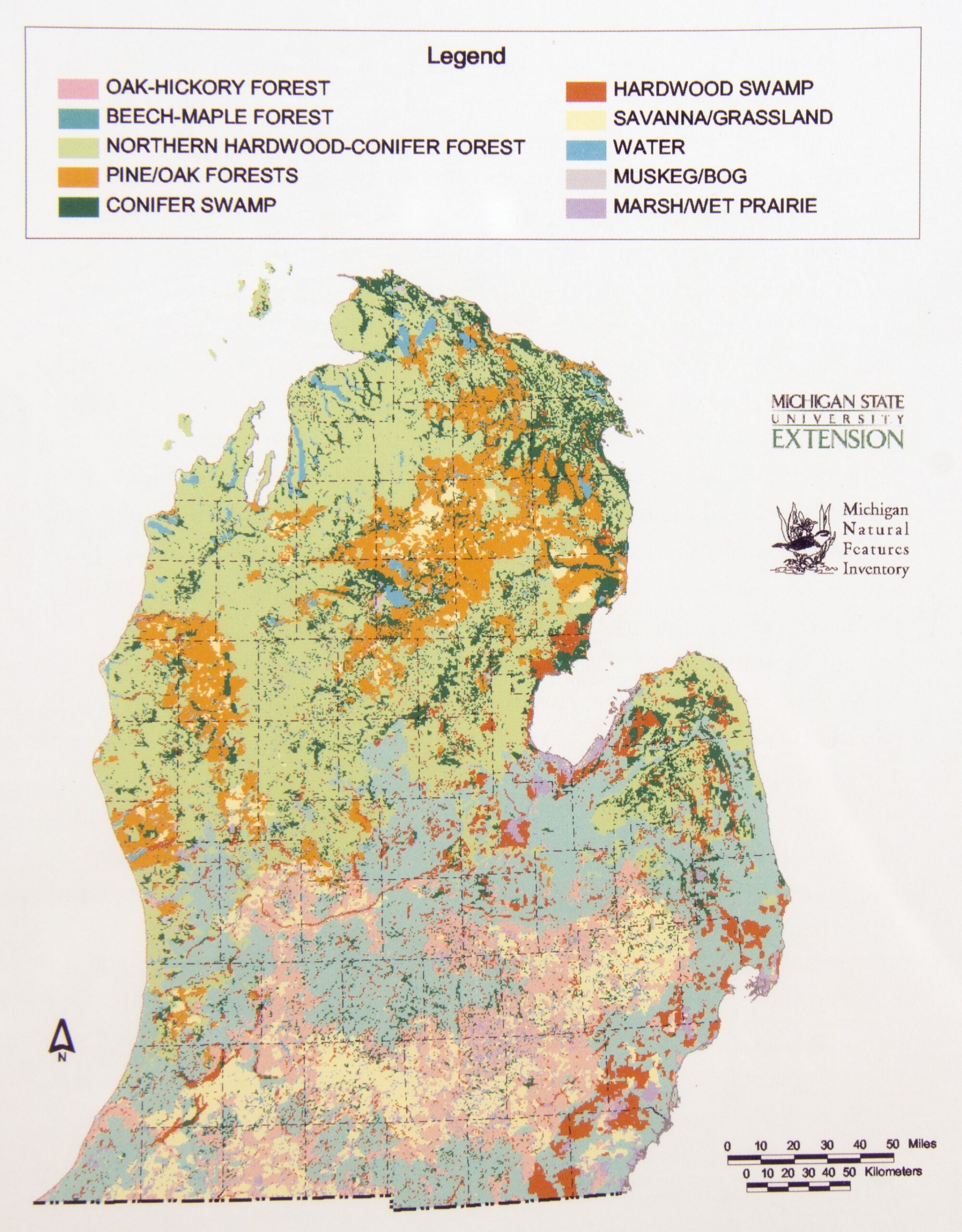
Vegetation map of lower Michigan before settlement, reconstructed from U.S. Land Survey records.
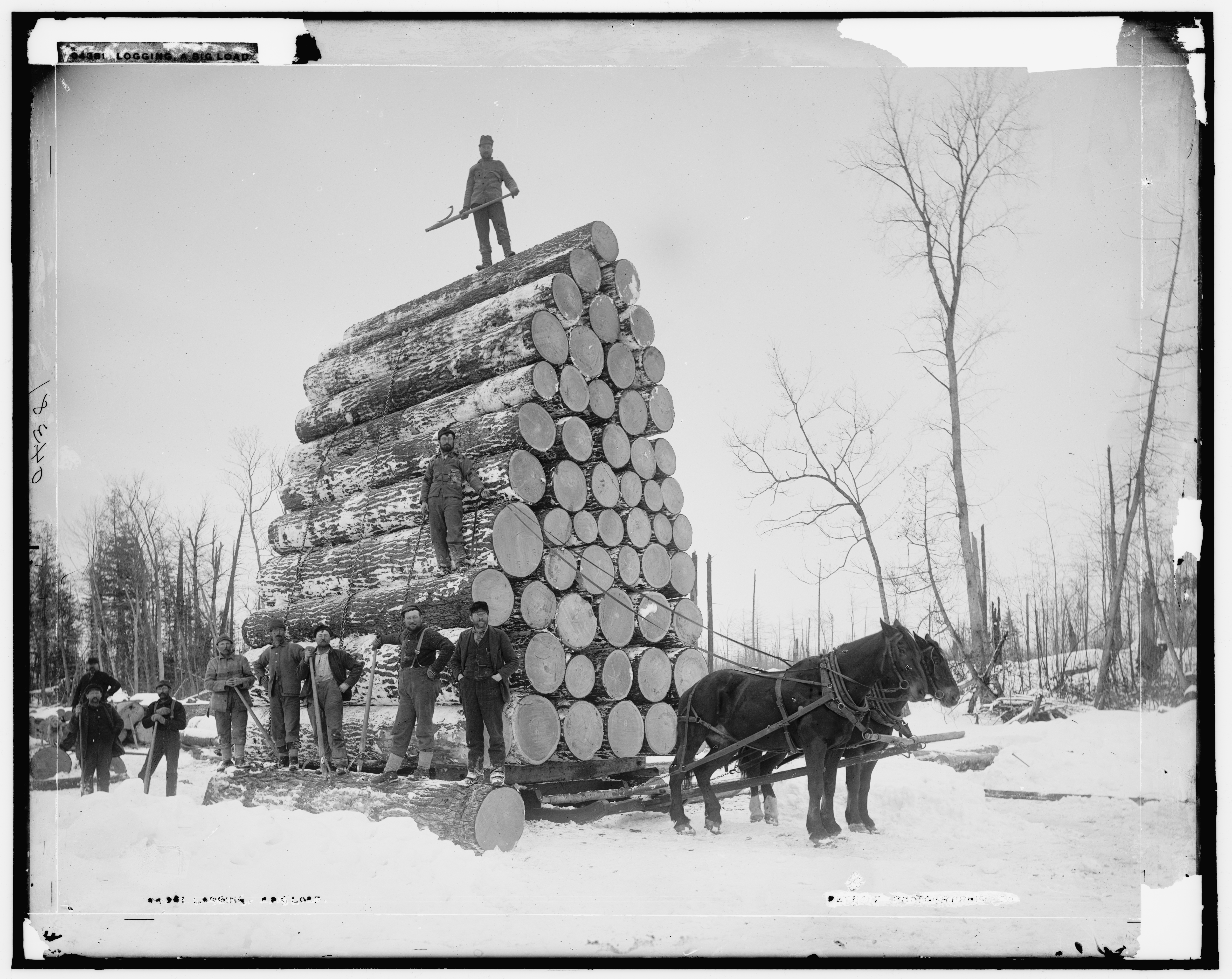
A big load upon a skid ready to be taken to a lumber mill.
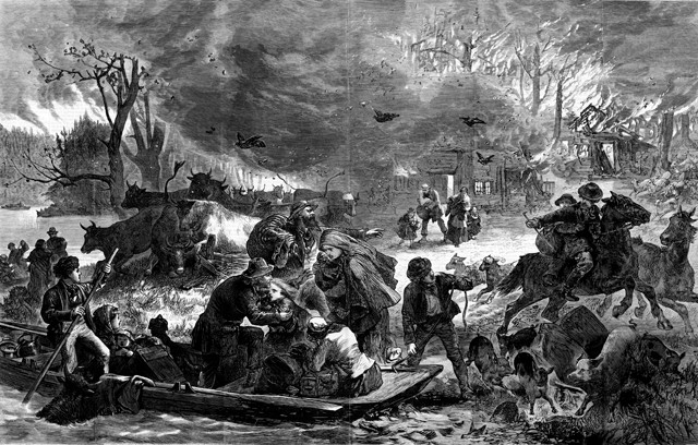
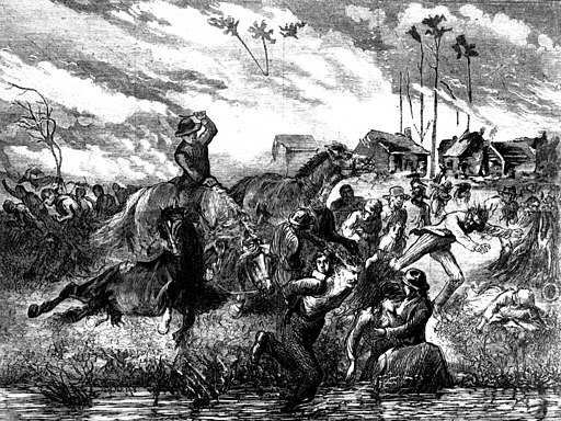
Great Lakes Fire image 1
Great Lakes Fire image 2
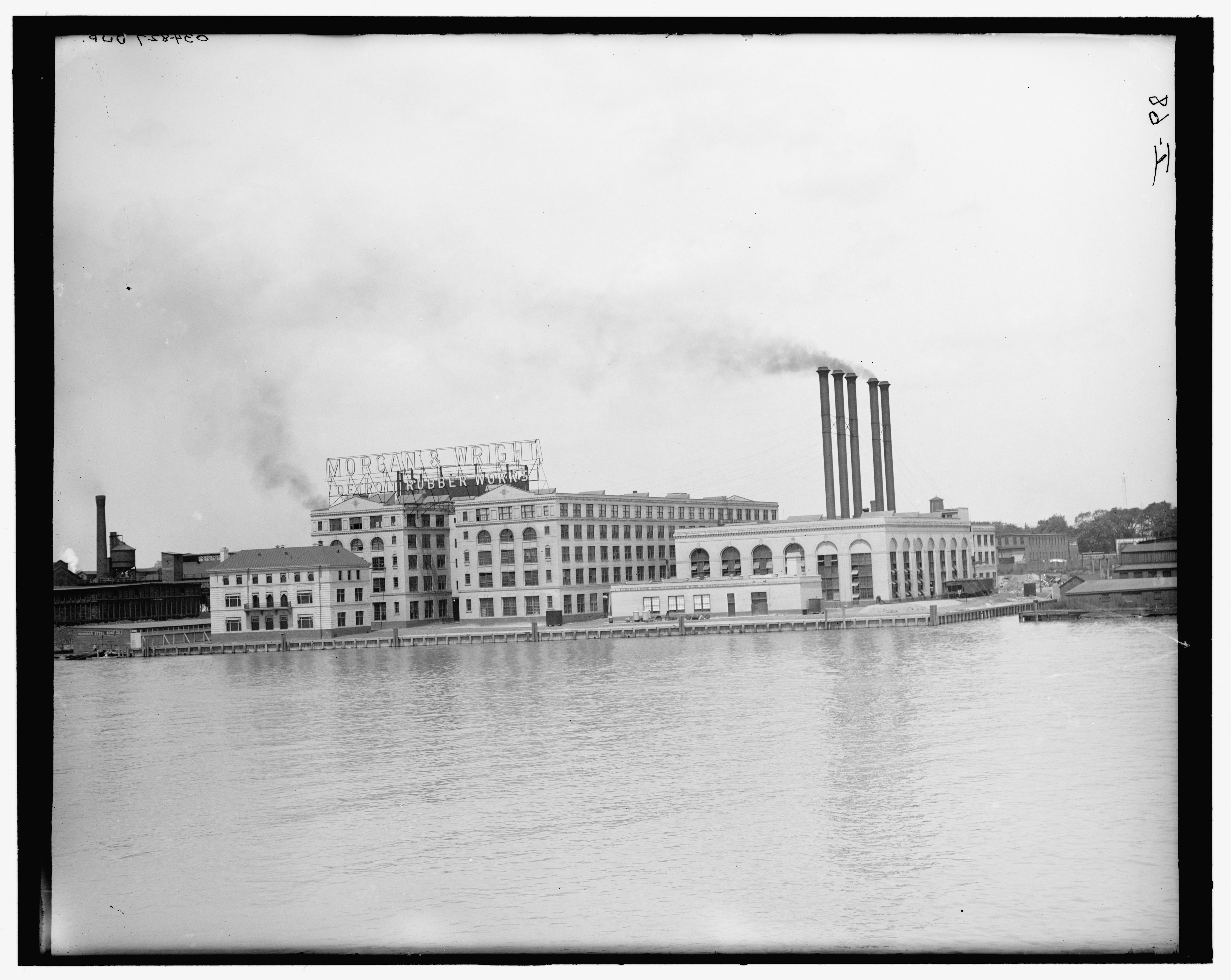
Detroit Rubber Works along the Detroit River (later the Uniroyal site)
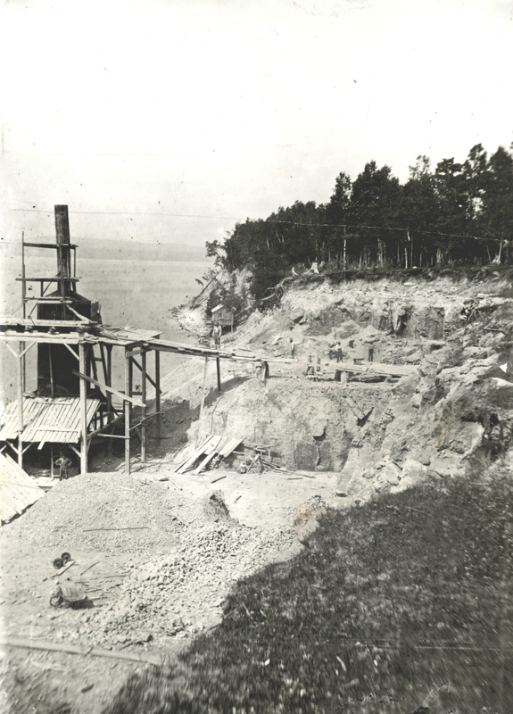
Petoskey Limestone Company
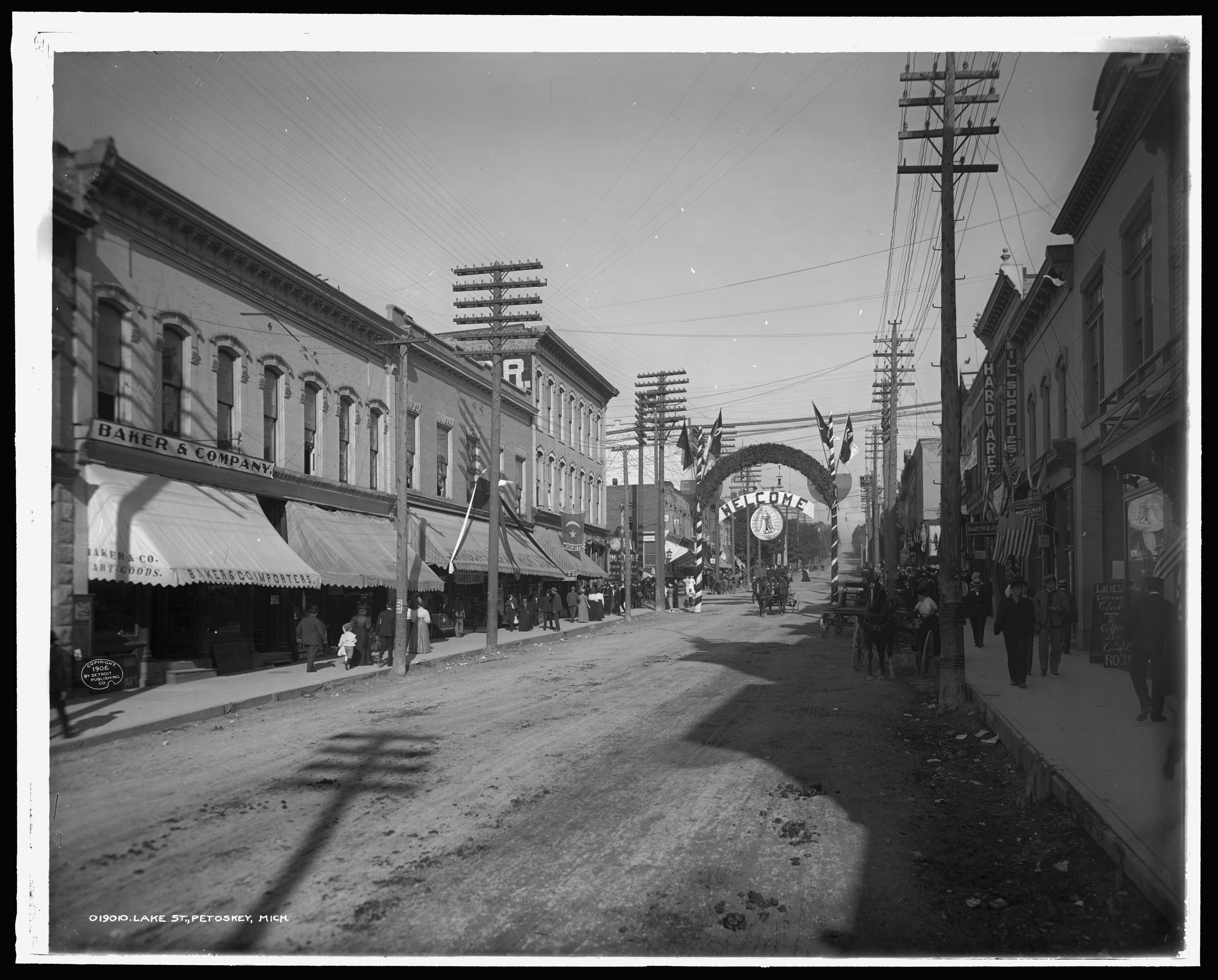
1908 Lake Street. Brick and mortar structures.
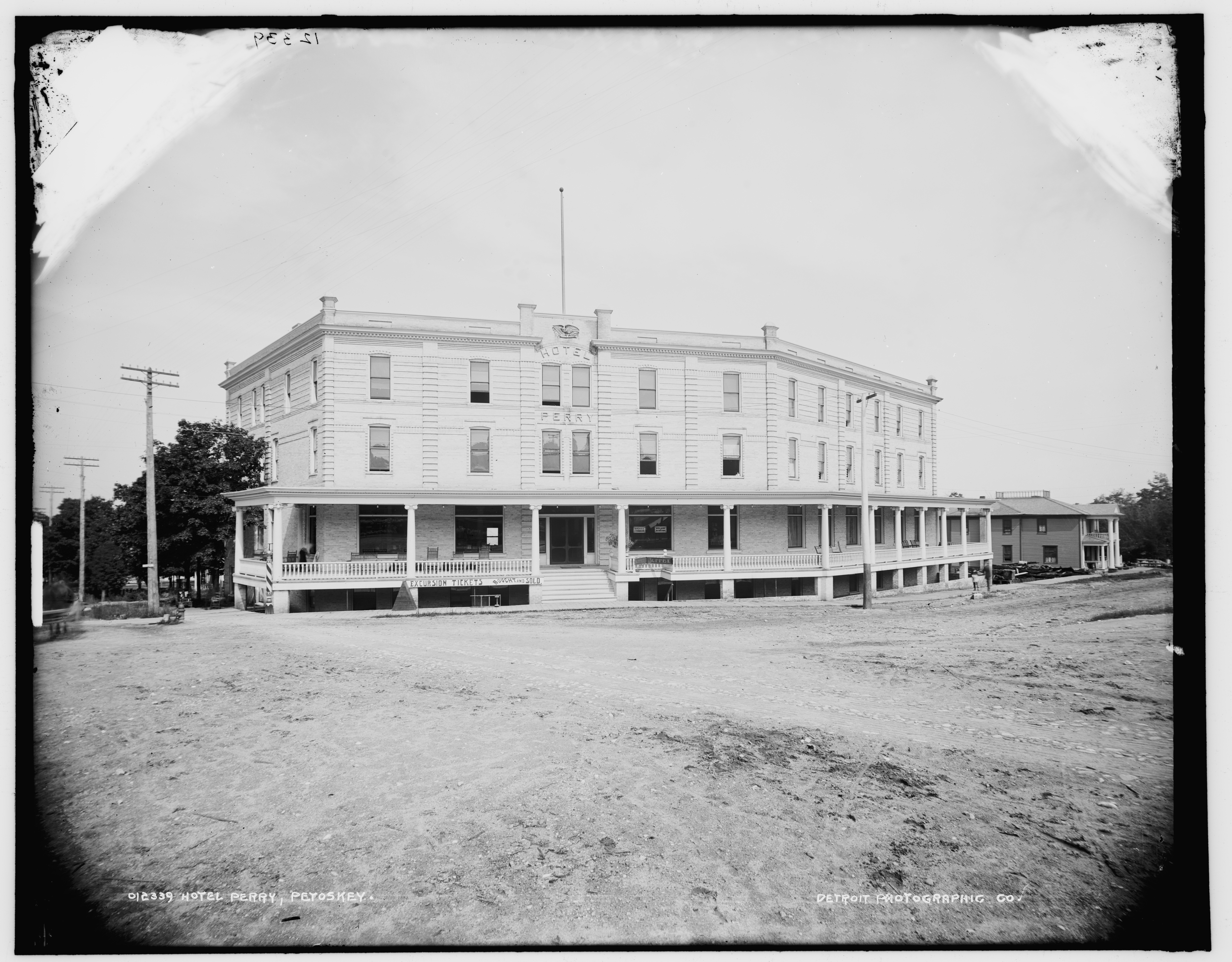
1895 The Hotel Perry., Petoskey’s first “fire proof” hotel.
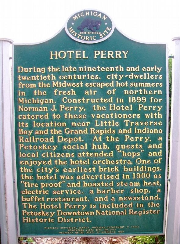
Hotel Perry historical marker.
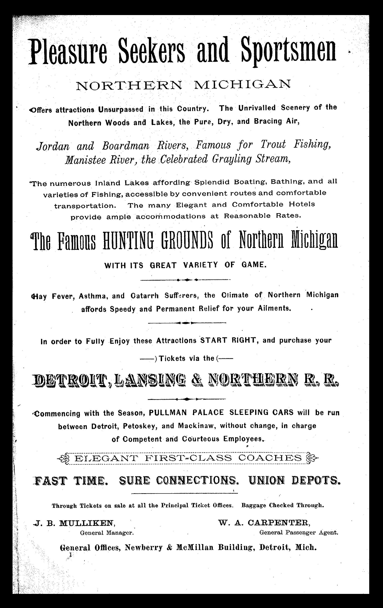
Railroad company flyer referencing northern Michigan air quality.
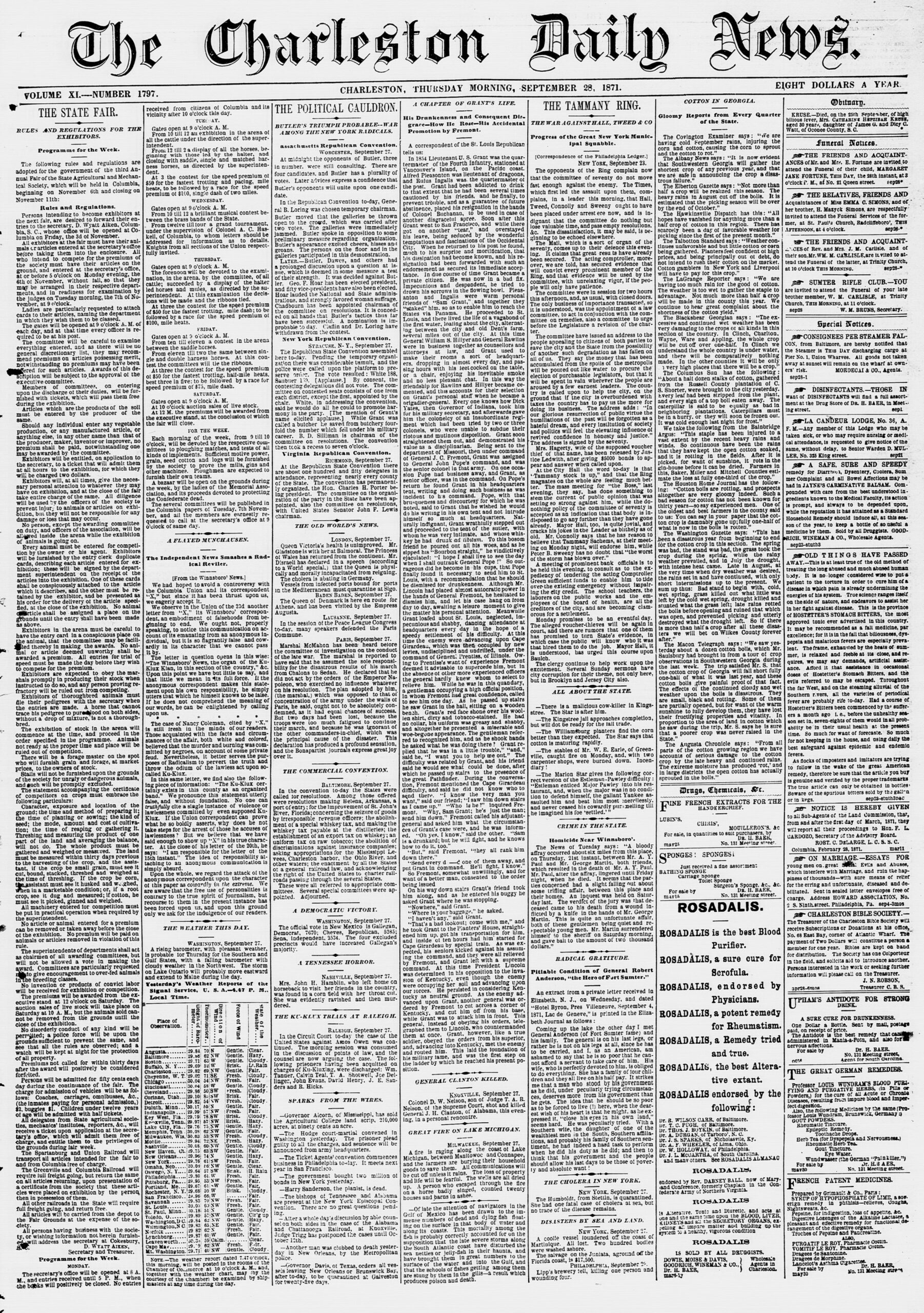
Sept 1871 – Report of Great Lakes fires. Bottom column 4.
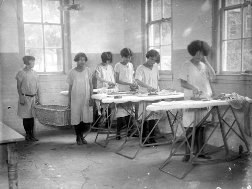
Native American girls at the Holy Childhood School. Note the hair style.
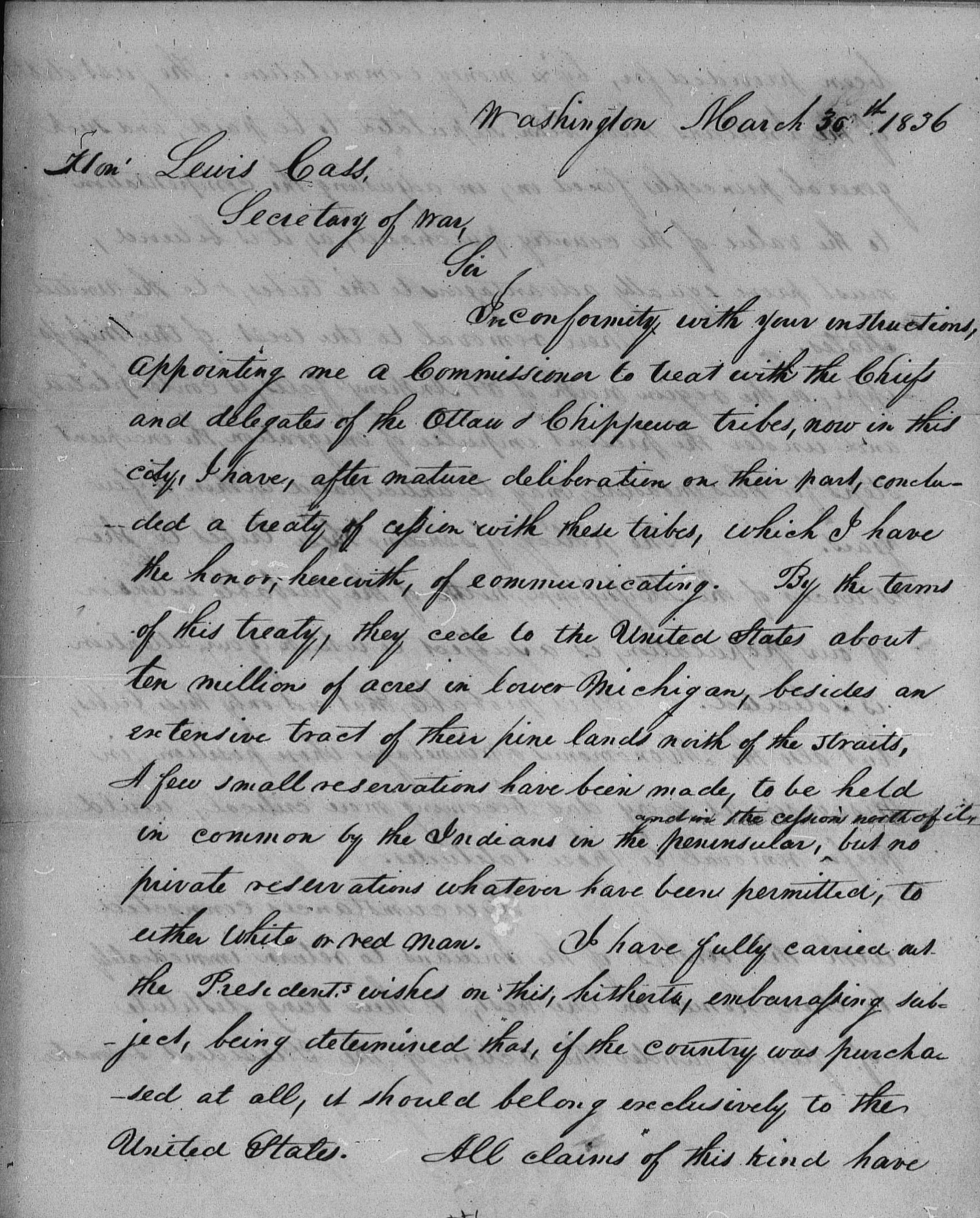
1836 Letter from Henry Schoolcraft to Michigan Territorial Governor Lewis Cass.
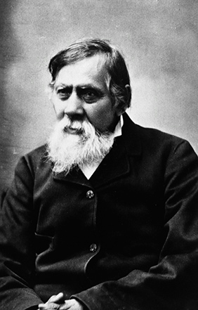
Chief Petosega, after whom Petoskey is named.
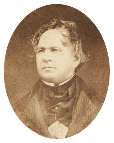
Henry Schoolcraft who oversaw the US government’s interest in the 1836 Treaty of Washington
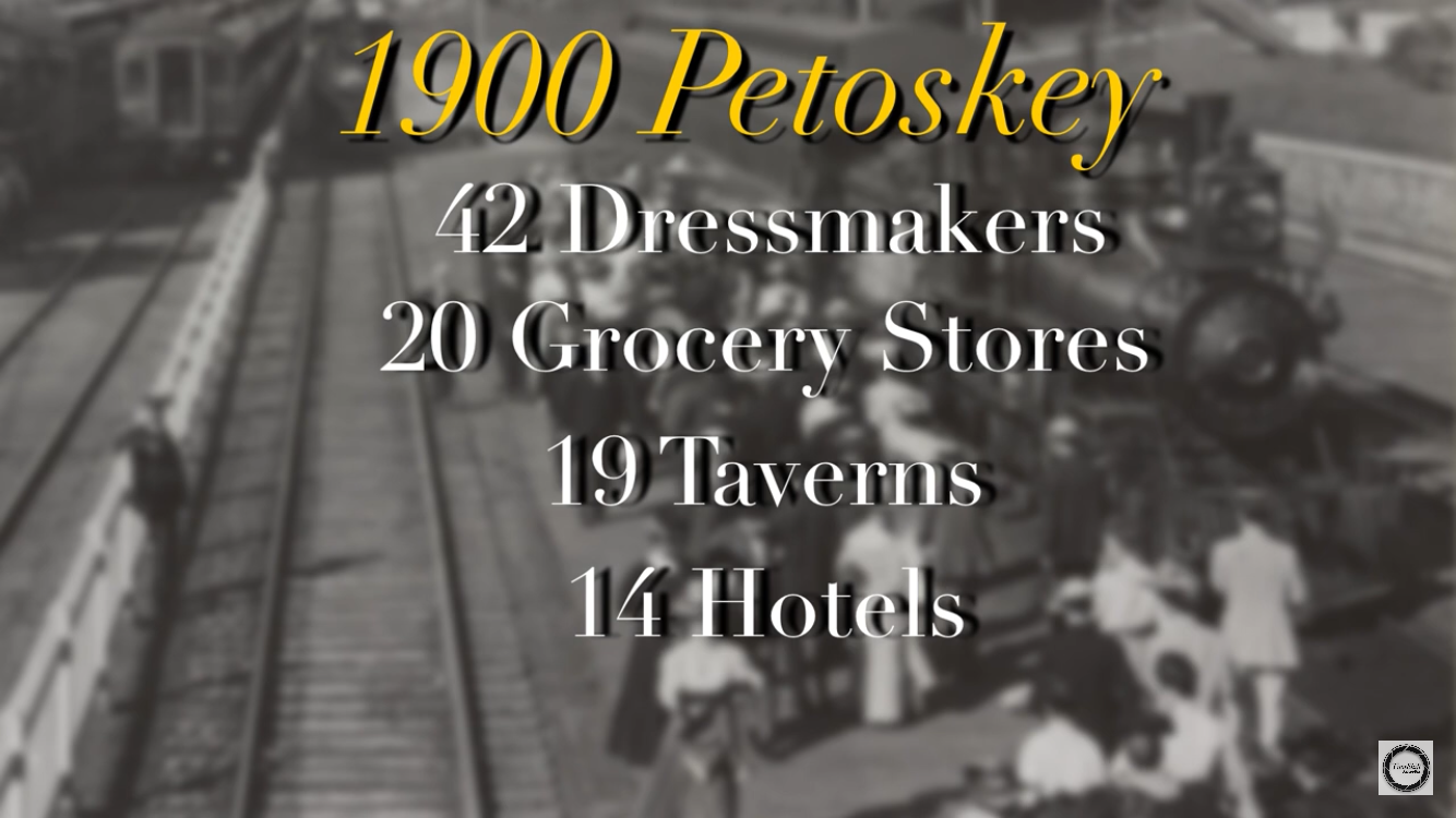
1900 Petoskey statistics
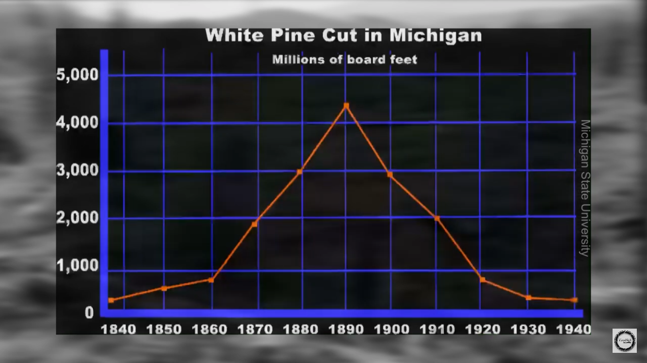
Petoskey logging graph
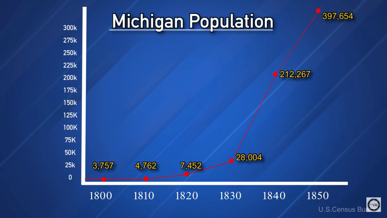
Michigan population growth 1800-1850
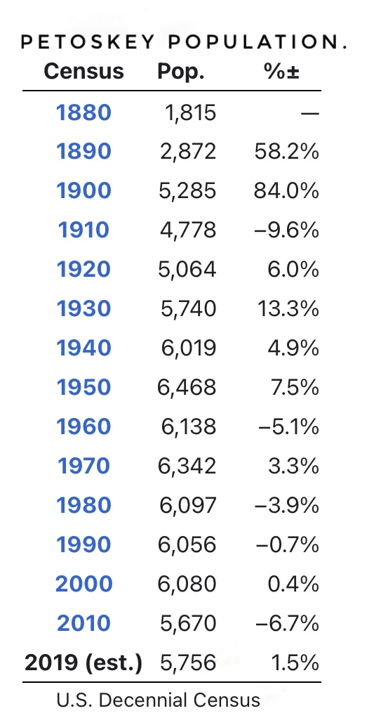
Petoskey population through the years
Michigan White Pine Logging. This Michigan State University website offers information regarding the logging activities in Michigan throughout the last 200 years.
The 1836 Treaty of Washington. This Treaty ceded 37% of Michigan land to the United States government. Without this land the Territory of Michigan could not have become a State.